Centro Histórico
Mexica foundations, colonial streets, public plazas, murals and intense everyday life.
Best forHistory, architecture and a first sense of scale.
Mexico City is enormous, layered and easier to understand neighborhood by neighborhood. This is the orientation we wish every first-time visitor had.
Last locally checked: August 2026
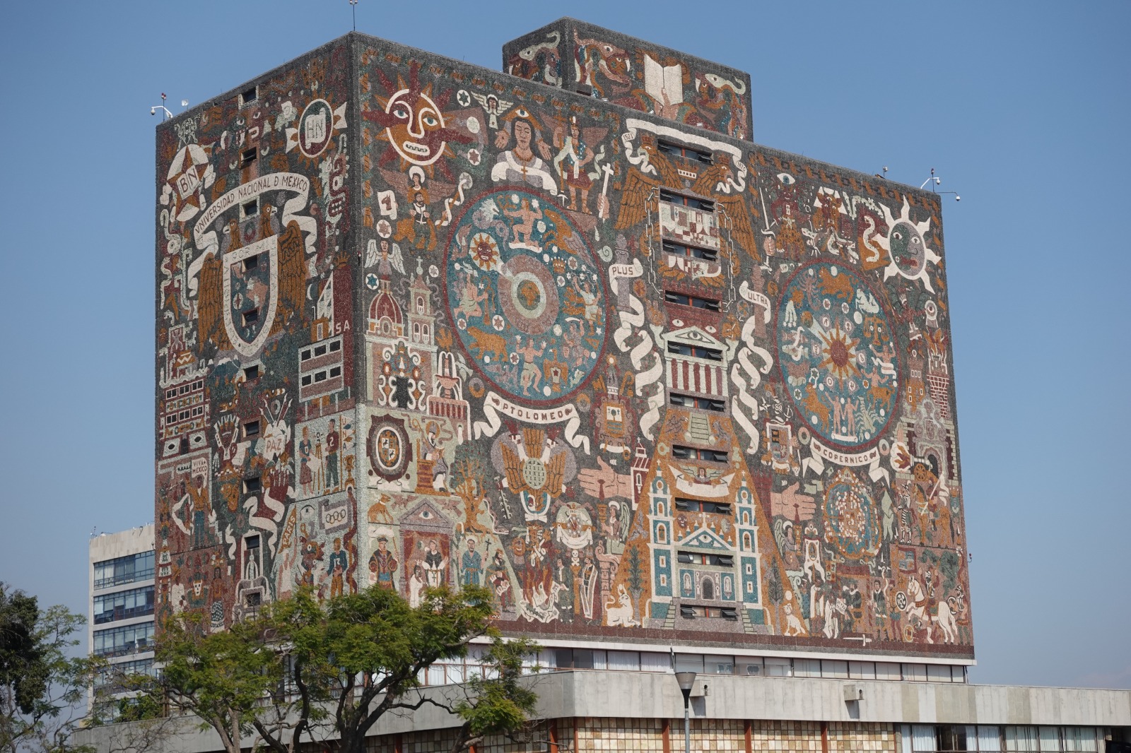
What looks close on a map can take time in traffic. Give each part of the city room instead of crossing it repeatedly.
Mexica foundations, colonial streets, public plazas, murals and intense everyday life.
Best forHistory, architecture and a first sense of scale.
Leafy streets, early-20th-century architecture, cafés, galleries and easy walking.
Best forDesign, food and an unhurried afternoon.
A vast urban forest with museums, lakes, monuments and the castle. It is a destination, not a quick stop.
Best forMuseums, green space and context.
Plazas, old residential streets and a slower atmosphere, well south of the central neighborhoods.
Best forA half day at a different pace.
No single option works for every journey. Combine walking and public transport by day; use a trusted car service when the route or hour calls for it.
The best way to notice street life. Use comfortable shoes and avoid planning long cross-city walks.
Useful for major corridors. Avoid peak crowds when possible, keep valuables close and check service notices.
Helpful at night and between distant areas. Confirm the plate and driver before boarding.
Walk the central streets, then choose one major museum or mural site.
Choose one museum, leave time outdoors, then continue to Roma for dinner.
Coyoacán for atmosphere, markets for food, or a neighborhood architecture walk.
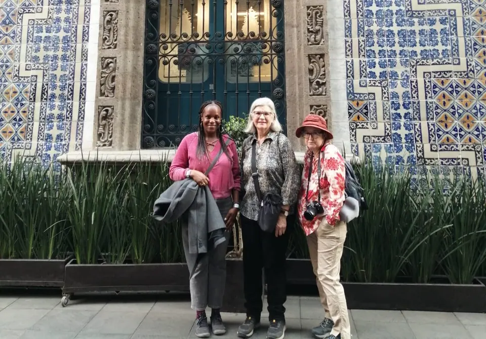 City history
View experience →
 Park + history
View experience →
Operations change. Use the official Metro, Metrobús and Mexico City Tourism sites for current notices.